


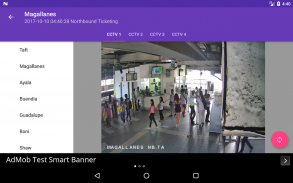
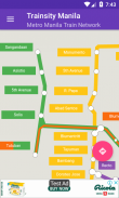
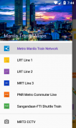
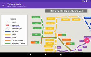
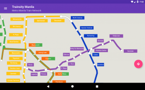
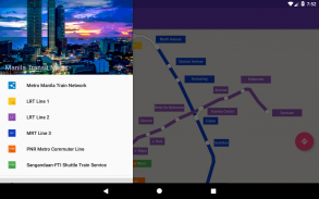
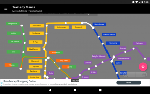
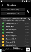
Trainsity Manila LRT MRT PNR

Descrição do Trainsity Manila LRT MRT PNR
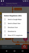
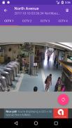
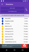
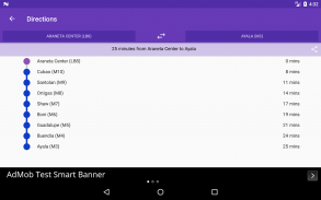
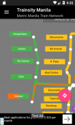
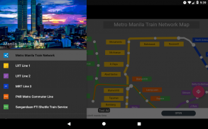
Navegue pelas redes ferroviárias públicas de Manila e de outros países sem esforço com os mapas vetoriais de alta resolução do nosso aplicativo. Escolha e baixe os mapas que você precisa, aproveitando níveis de zoom detalhados sem comprometer o espaço de armazenamento. Veja os horários e frequências das linhas de trem e as primeiras e últimas partidas das estações (para mapas com horários). Acesse todos os recursos offline, sem precisar de conexão com a internet.
Descubra uma maneira simples de explorar as redes ferroviárias com nosso aplicativo intuitivo e eficiente.
Mapas disponíveis atualmente para:
- Singapura
- Kuala Lumpur, Malásia
- Sapporo, Japão
- Recife, Brasil
- Brasília, Brasil
- Vancouver, Canadá
- Hong Kong, China
- Bangkok, Tailândia
- Manila, Filipinas
- Osaka, Japão
- Amsterdã, Holanda
- Hanói, Vietnã
- Utrecht, Holanda
- Jacarta, Indonésia
- Rio de Janeiro, Brasil
- Palembang, Indonésia
- Edmonton, Canadá
- Calgary, Canadá
- Sydney, Austrália
- Fukuoka, Japão
- Paris, França
- Fortaleza, Brasil
- Montreal, Canadá
- Roma, Itália
- Toronto, Canadá
- Lyon, França
- Argel, Argélia
- São Paulo, Brasil
- Perth, Austrália
- Cidade de Ho Chi Minh, Vietnã
- Milão, Itália
- Nuremberg, Alemanha
- Copenhague, Dinamarca
- Sobral, Brasil
- Natal, Brasil
Idiomas suportados pelo aplicativo:
Inglês, malaio, indonésio, chinês, português, Japonês, tâmil, tailandês, espanhol, holandês, vietnamita, francês, italiano, árabe, alemão, dinamarquês


